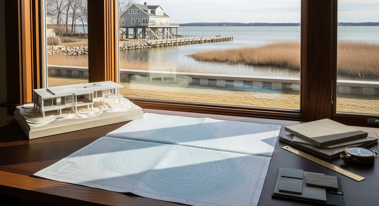
If you are buying or selling in St. Clair, floodplain status can shape your budget, financing, insurance, and timeline. The good news is you can check it early, understand your options, and move forward with clarity.
Why Floodplain Status Matters
Flood risk around St. Clair connects to the St. Clair River and the wider Great Lakes system. Water levels across the lakes hit record highs in 2017 to 2020 and have remained variable since, which influences shoreline flooding and erosion for riverfront and near-river properties according to NOAA GLERL.
Floodplain status can affect:
- Financing and lender requirements
- Insurance cost and availability
- Appraisal, disclosures, and days on market
- Resale planning and long-term maintenance
With a clear plan, you can reduce surprises and keep your deal on track.
Reading Flood Maps Correctly
Where to Find Official Maps
Start with FEMA’s Flood Map Service Center. It is the official source for Flood Insurance Rate Maps (FIRMs), Flood Insurance Studies, and Letters of Map Change. Search by address, then download a FIRMette for your file at FEMA MSC. The map you see as “effective” on MSC is the regulatory map for insurance and permitting until it is replaced or revised.
For state and local context:
- Michigan EGLE provides statewide guidance and can estimate 100-year flood elevations on request via EGLE.
- The St. Clair County Drain Commissioner publishes drain and easement maps that help you understand local flow paths and maintenance responsibilities county drain maps.
- The City of St. Clair Building Department can share permit history, local standards, and contacts for the local floodplain administrator City Building Department.
Tip: Use FEMA for the regulatory call, then layer in county and city resources for on-the-ground context.
Understanding Zones and Elevation
On FEMA maps, Special Flood Hazard Areas (SFHAs) are the 1 percent annual chance flood zones. You will see labels like Zone A or AE. If your building is inside an SFHA, lenders that are federally regulated usually require flood insurance. FEMA also lists Base Flood Elevations (BFEs), which are the reference heights used for building and rating decisions FEMA MSC overview.
You may hear about Letters of Map Change. These are formal FEMA decisions that can adjust a property’s zone if you show survey evidence that the structure is above the mapped flood elevation. Licensed surveyors and engineers handle these submittals FEMA LOMC guidance.
Parcel vs. Neighborhood Views
A single parcel can straddle more than one flood zone. Lenders and local officials focus on the building location and the elevation of the lowest floor compared to the BFE. Zoom in close to see where the structure sits. Then zoom out to understand nearby rivers, drains, and low spots that could influence access or yard flooding during major storms FEMA MSC.
Elevation Certificates Basics
An Elevation Certificate (EC) records a structure’s surveyed elevations against the BFE. Insurers and local officials use ECs to refine rates, check compliance, and support Letters of Map Amendment when appropriate. ECs are prepared by licensed surveyors or engineers Elevation Certificate overview.
Flood Insurance: What To Know
When Lenders May Require Coverage
If a building is inside an SFHA, federal law requires flood insurance when the loan is made, guaranteed, or purchased by a federal or federally regulated lender. If maps change during the loan term, a lender can require insurance mid-loan federal rules summary. Even outside SFHAs, some lenders may still require coverage, and many owners choose to buy it, since flood claims often occur outside high-risk zones FEMA flood insurance basics.
Policy Options and Coverage Scope
- NFIP policies: FEMA-backed coverage with set limits for building and contents. Widely accepted by lenders and available in most communities FEMA program.
- Private flood: Some carriers offer policies that may meet or exceed NFIP standards. Lenders often accept these if coverage is at least as broad as NFIP.
Common exclusions include landscaping, docks, and some below-grade items. Review dwelling and contents limits, plus any basement or crawlspace restrictions.
What Drives Cost
- Building elevation relative to BFE and flood zone
- Foundation type and lowest-floor height
- Prior claims and continuous coverage history
- Deductible selection and coverage amounts
- Mitigation features like flood vents, elevated mechanicals, and backflow valves
An EC can help refine NFIP or private rates and sometimes lower premiums EC uses.
Getting Quotes Early
Get quotes as soon as you open due diligence. Ask the seller if they carry flood insurance and whether they will share prior policy declarations and claims history. Remember the typical NFIP 30-day waiting period unless coverage is lender-required at closing or tied to certain map changes NFIP timing.
Disclosures When You Sell
State and Federal Expectations
Michigan’s Seller Disclosure Act requires sellers to provide a signed disclosure form with known property conditions, including water intrusion and flood insurance history. If delivered after a signed purchase agreement, the buyer may have rescission rights within specific time windows, so deliver early and accurately Michigan statute and timing rule reference.
Documents to Gather
- Seller’s Disclosure Statement
- Any Elevation Certificate
- Prior flood insurance policies and claims documents
- Letters of Map Change, if any
- Permits and receipts for drainage or mitigation work
If the owner will provide a CLUE report, it may help buyers understand claims history. The owner must request CLUE for the property and share it with the buyer CLUE info.
Marketing With Transparency
It is better to explain risk and improvements clearly than to leave questions unanswered. If you installed backflow preventers, added grading, or moved mechanicals above BFE, include that in the listing notes and keep documents ready for buyers and appraisers.
Buyer Due Diligence Steps
Map Check and Site Walk
- Pull a current FIRMette for the address from FEMA MSC and note the effective date MSC.
- Review county drain maps for easements and flow paths that could affect the site county drains.
- Walk the lot. Note grading, low spots, sump discharge points, and proximity to drains or the river.
Inspection and Specialist Input
- Ask your inspector to focus on water management: gutters, downspouts, sump pump, backup power, drain tile, grading, and foundation cracks.
- If the structure is near an SFHA boundary or you want a refined rate, hire a surveyor for an Elevation Certificate or to evaluate a potential LOMA FEMA LOMC and EC basics.
Insurance and Budget Impact
- Quote both NFIP and private options where available FEMA program.
- Test different deductibles and mitigation features.
- Remember the NFIP waiting period. Build it into your schedule if you are not purchasing with a lender requirement.
Offer Strategy and Contingencies
- Include time for mapping checks, EC scheduling, and insurance quotes.
- Ask for seller documents early. If disclosure is late, know your statutory rights and timelines Michigan statute and rescission timing.
- Coordinate with your lender so any flood requirement and escrow setup does not delay closing.
Reducing Risk and Costs
Property-Level Mitigation
- Regrade to slope water away from the foundation.
- Extend downspouts and add splash blocks.
- Maintain sump pumps with battery backups.
- Install backwater valves and consider flood vents where appropriate.
- Elevate mechanicals and critical utilities above the expected flood level.
Documentation and Permits
Pull permits where required and keep records. Saved invoices, photos, and EC updates help insurers, appraisers, and future buyers evaluate the work and may support better rates.
Community Measures and Programs
Ask the city about planned drainage projects, stormwater improvements, or local standards like freeboard. City and county staff can share past flooding hot spots and maintenance schedules for nearby drains City Building Department and county drains. Check FEMA for any pending map updates that could change requirements after closing MSC advance search.
Note: Federal program status can shift. The National Flood Insurance Program is periodically reauthorized by Congress, which can affect timing for new policies. When in doubt, verify current status with FEMA or your insurance agent NFIP overview and recent context on program lapses news background.
Get Local Help You Can Trust
How a Local Brokerage Helps
As a local, owner-led firm, we help you:
- Screen properties for flood risk early with FEMA and county resources
- Coordinate quotes with trusted insurance partners
- Plan offer timelines and contingencies around mapping, ECs, and lender requirements
- Prepare compliant seller disclosures and gather supporting documents
- Manage rentals with floodplain awareness, including tenant education and emergency planning
Next Step for Readers
Have questions about a specific address or how flood status may affect your price and timeline? Reach out to the team at Great Lakes Realty and Property Management. We will help you pull the right maps, get quotes, and build a smooth plan from offer to closing. Let’s turn the next "Page" in your book of life with clear, confident steps.
Make an Informed Move With Confidence
Floodplain awareness does not need to slow your plans. With the right maps, documents, and insurance strategy, you can buy or sell in St. Clair with confidence. If you are ready to talk specifics or want a quick read on value and risk, we are here to help.
Start now: Great Lakes Realty and Property Management can provide a free valuation and a simple floodplain check to kick off your plan.
FAQs
Is my St. Clair property in a floodplain?
- Look it up on FEMA’s Map Service Center and download a FIRMette. Then confirm any questions with the City Building Department or a surveyor FEMA MSC and City Building.
What is an SFHA and why does it matter?
- SFHA means Special Flood Hazard Area, the 1 percent annual chance flood zone. Lenders generally require flood insurance for buildings in these zones FEMA MSC.
How do I lower my flood insurance premium?
- Obtain an Elevation Certificate, consider mitigation like flood vents and elevating utilities, and compare NFIP and private quotes EC basics and FEMA program.
What is a Letter of Map Amendment or Revision?
- A LOMA or LOMR is a FEMA decision that can change how your property is mapped if survey data shows it is above the flood level. Surveyors or engineers submit these to FEMA LOMC guidance.
Do I have time to get flood insurance before closing?
- NFIP policies usually have a 30-day waiting period unless coverage is lender-required at closing. Get quotes early to avoid delays FEMA insurance.
What must Michigan sellers disclose about flooding?
- Sellers must complete the state disclosure form and report known flooding, water intrusion, and flood insurance history. Late delivery can trigger buyer rescission rights within set windows Michigan statute and timing rule.
Who can help me with a site-specific elevation question?
- A licensed surveyor or engineer can prepare an Elevation Certificate and advise on a possible LOMA. Michigan EGLE also provides technical guidance and can estimate flood elevations in some cases EGLE.